
Urban Nature Amsterdam, the green and blue map of the city
Produced together with our partner Urban Good

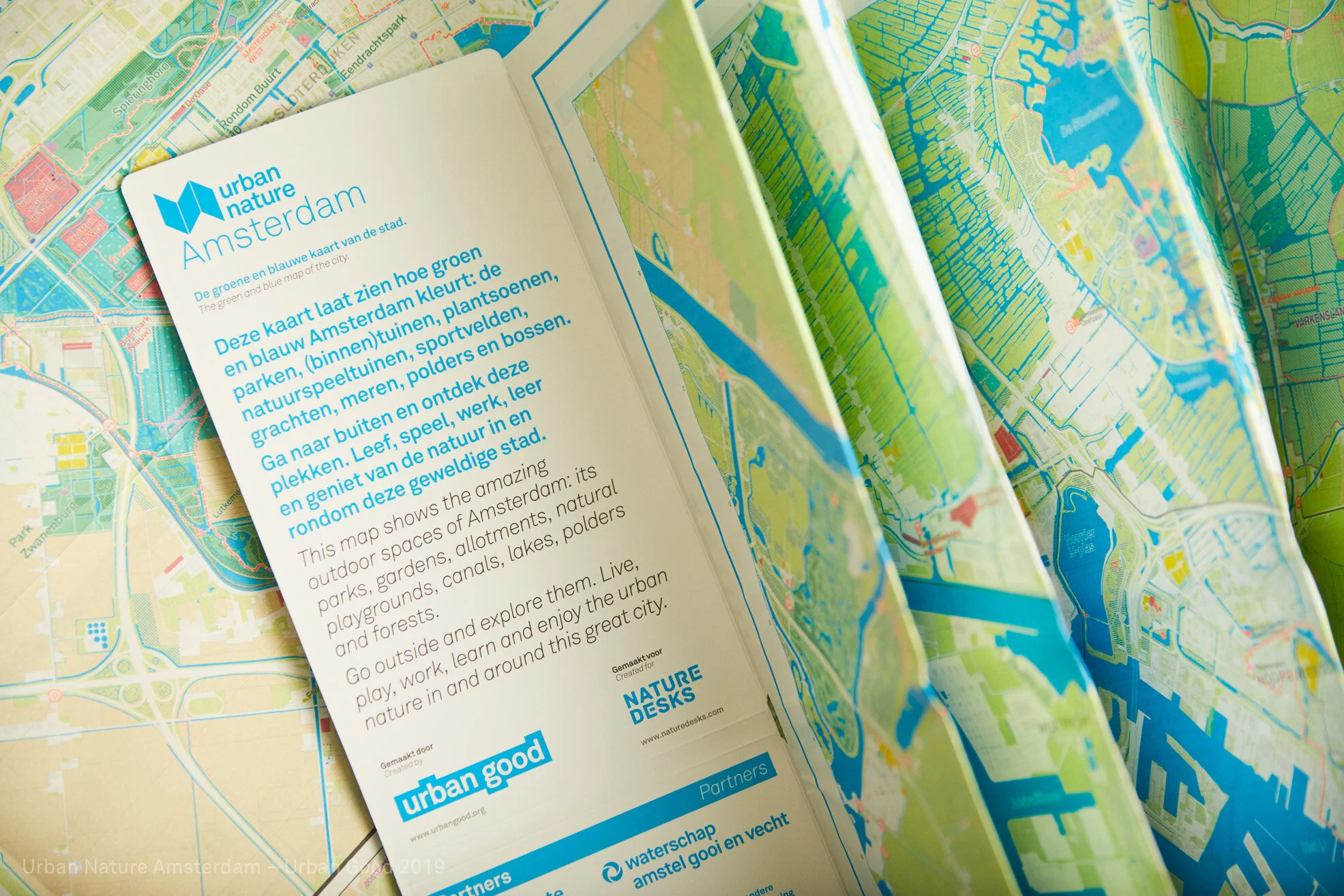
The #UrbanNatureAmsterdam map shows the amazing outdoor spaces of Amsterdam: its parks, gardens, allotments, natural playgrounds, canals, lakes, forests and polders. Go outside and explore them. Live, play, work, learn and enjoy the urban nature in and around this great city. This first paper green and blue map of the city of Amsterdam was designed by and together with our friends: the wonderful team of Urban Good.
Who is this map for?
For everyone who lives, studies and works in this city or visits Amsterdam. It is also meant for all those thousands of people who love Amsterdam, cities, nature and /or cartography.
How did this map come about?
In May 2018 we started a crowdfunding campaign which resulted in 150 private individuals, initiatives, institutions and companies pledging their financial support. Our three partners are the Municipality of Amsterdam, Waterschap Amstel, Gooi en Vecht and Recreatie Noord-Holland. Staatsbosbeheer supported the development of a special instrument with lets you see which green and blue spots can be found in the immediate vicinity of your home or workspace.
The power of #UrbanNatureAmsterdam is to bring together different parties who love the city. What we didn't know beforehand was that the makers would make so many friends along the way with people who wanted to share their knowledge and network. We thank them in person in an appendix on the map.
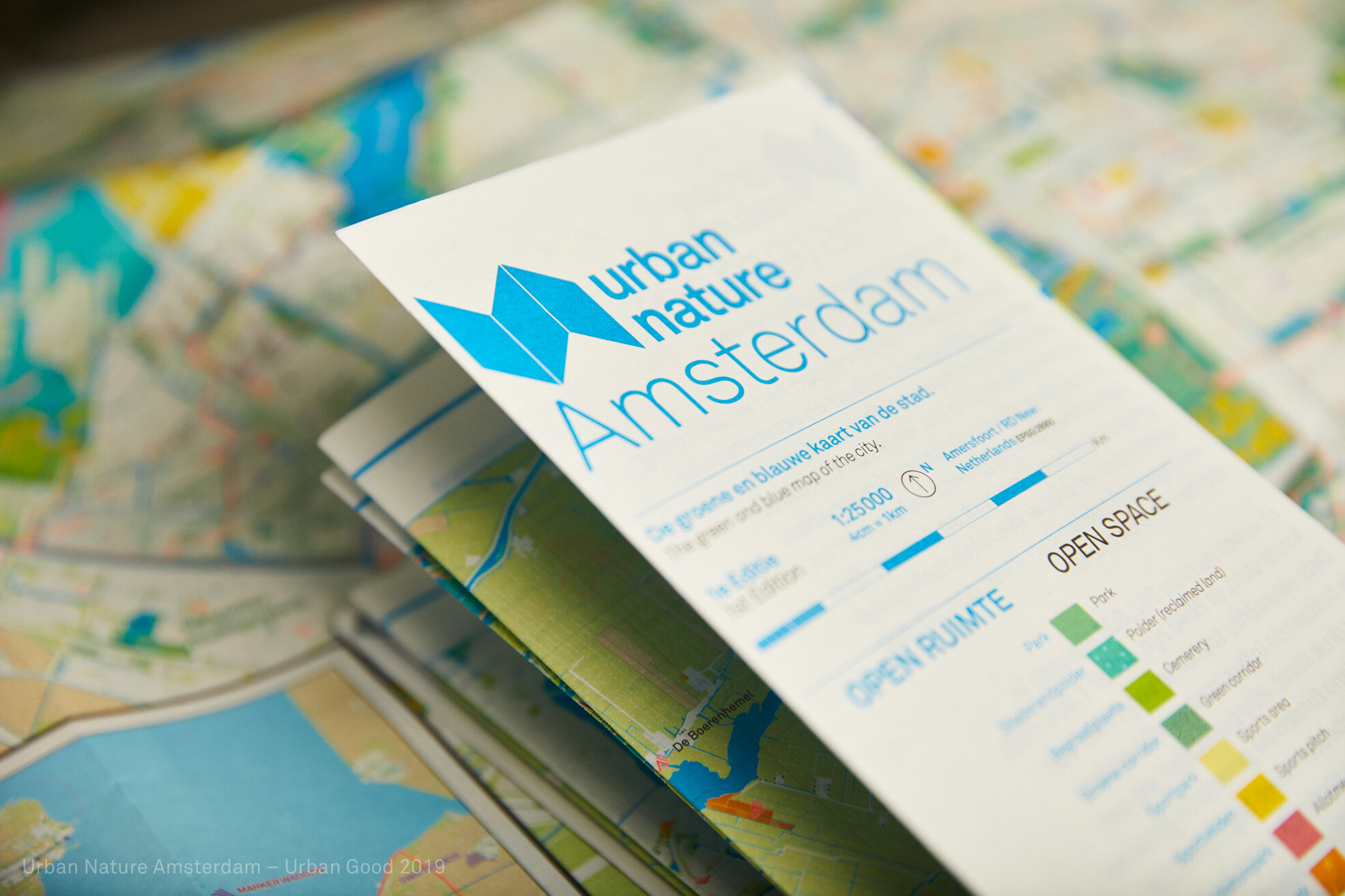
Why a large (950 x 1270mm) paper map?
Paper offers a unique sensory experience which cannot be reproduced digitally. This big map – covering more than one square meter of information on both sides of the paper needs to be discovered to really learn to appreciate it. It is certainly not an ordinary map that people use as a functional orientation tool. It is a cartographic gem that shows urban nature in the city and its surroundings. Urban Good (design) and Nature Desks (research & projectmanagement) have worked for almost a year on the production; the aim was to get people to observe and experience "their" city in a different way. We invite users discover all the green and blue spots and more. #UrbanNatureAmsterdam inspires people to make the city greener and healthier.
Why Amsterdam?
The initiator of the map is in love with Amsterdam and #UrbanNatureAmsterdam is an ode to this great city. Dreaming and acting to make cities more green and healthy is becoming more popular. We are certain that after London and Amsterdam more maps for cities with green ambitions will be produced; maps that inform and inspire people.
When was the map launched?
The #UrbanNatureAmsterdam map was launched in July 2019 in Pakhuis de Zwijger. Thank you again Daniel Raven Ellison for being there at our epic launch and share with us the vision of London National Park City en the National Park City Foundation.

Your copy of #UrbanNatureAmsterdam
The first edition of the map was printed in 2019, the second one in 2022. We are curious to hear from you: what do you think of this urban nature map? Please share your experiences and suggestions with us.
For more information and/ or placing larger orders (discount 40%) send us a message at info@naturedesks.com. You can place place order for more than to maps online.
We encourage you to purchase the #UrbanNatureAmsterdam map at these local and iconic spots in Amsterdam:
Urban Good printing with Dennis Maps